One minute
Laser Cut Topographical Map
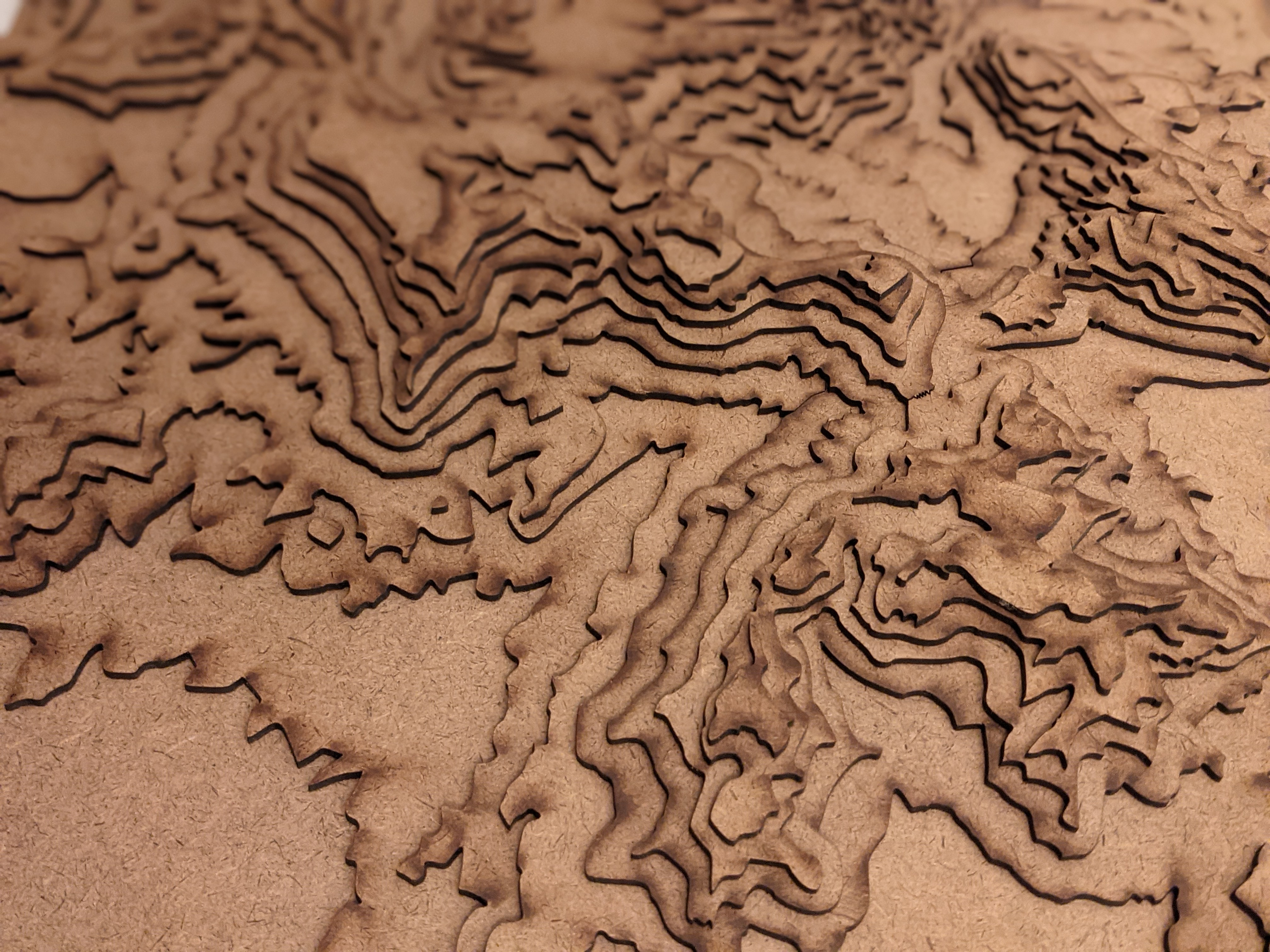
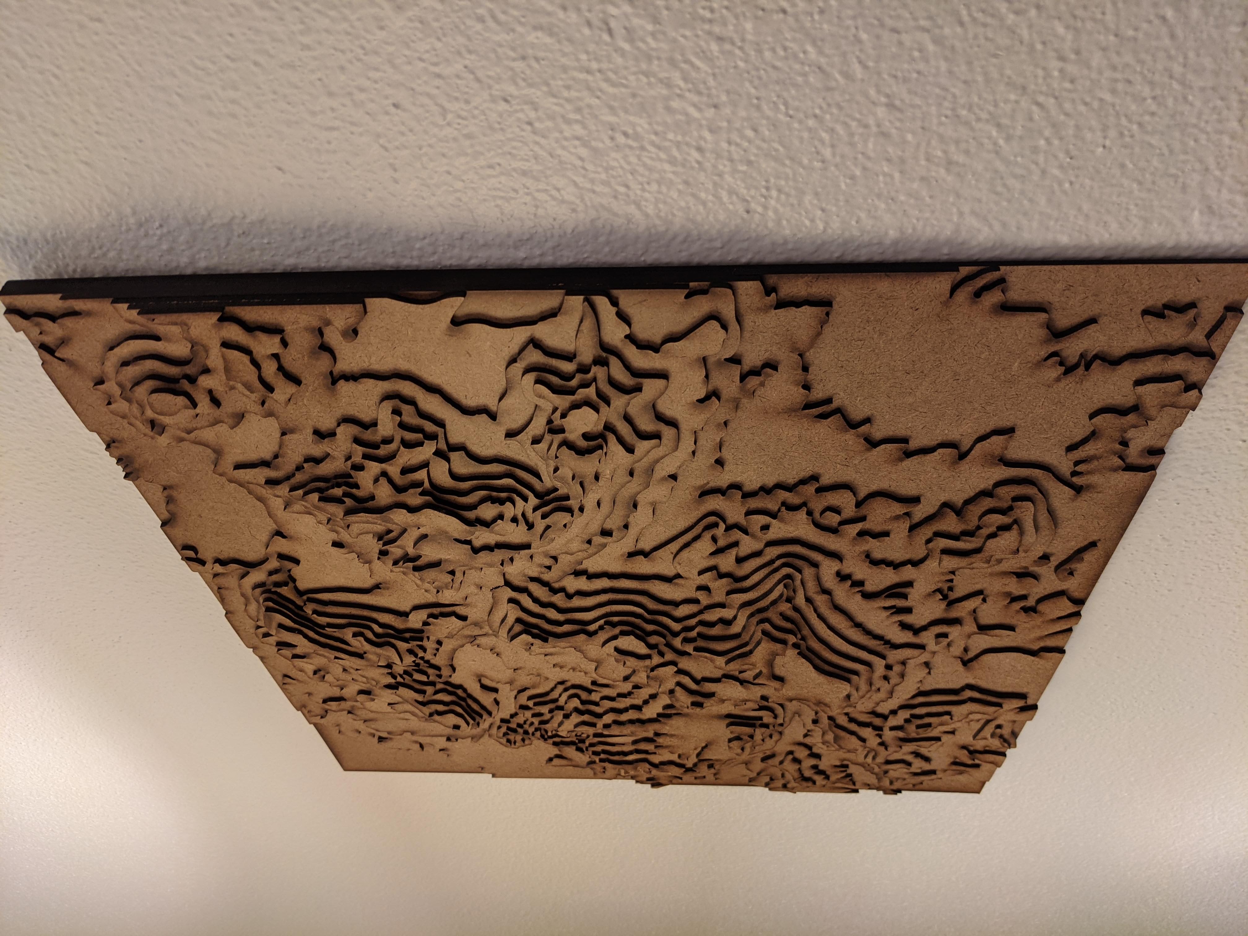
My family has a long and illustrious history of going backpacking in Big Bend National Park. For my sister’s birthday last year, I laser cut her a 3D topographical map of The Chisos Basin, one of our favorite locations in the park. This is a precise scale model, modeled by interpreting real world data with python.
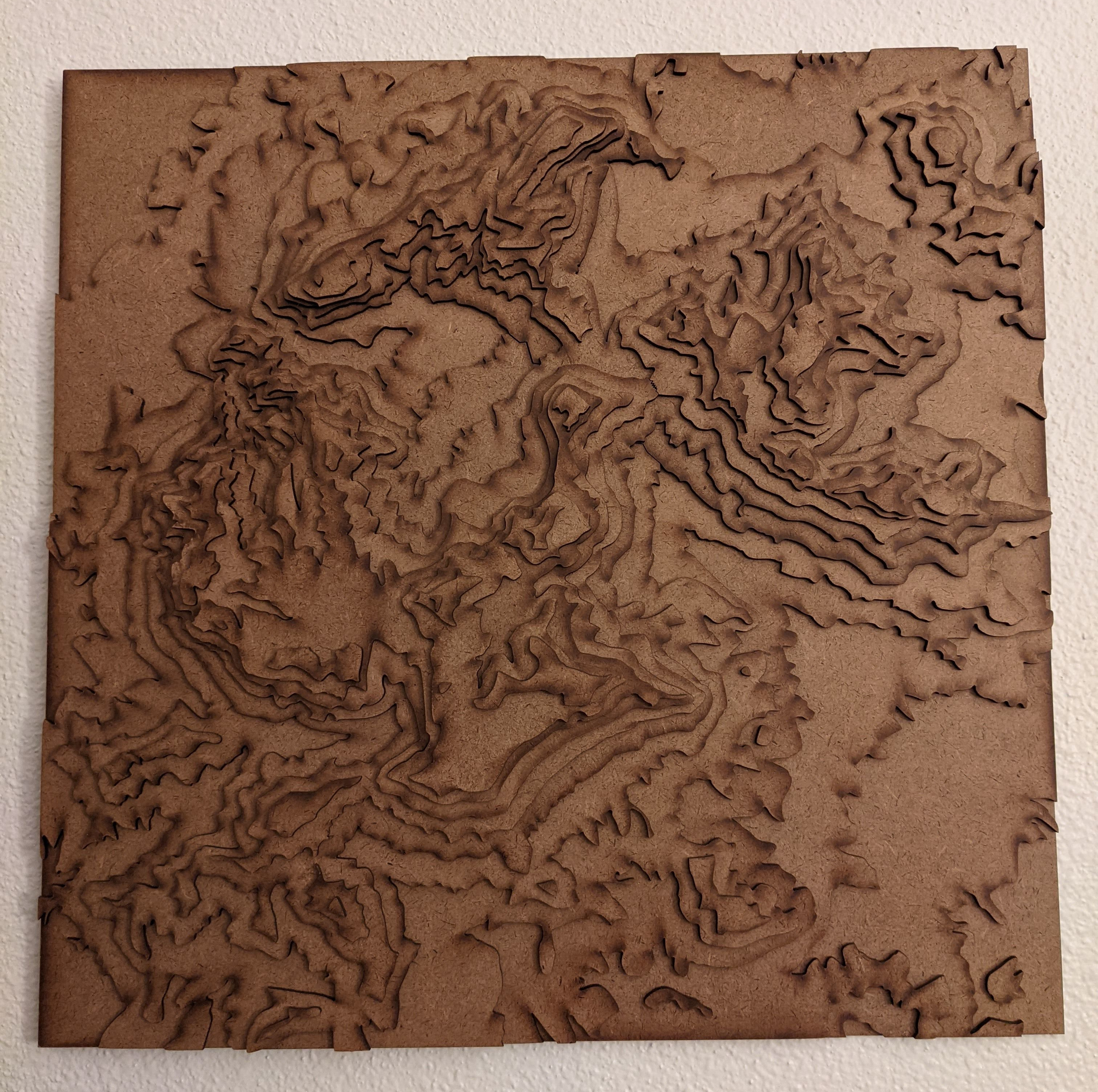
The most challenging part of the project was locating a usable heightmap image. I dug through mapping sites and United States Geological Survey data, but what I ultimately used was terrain.party , a website for exporting real world data for cities skylines maps. I calculated the scale of the image by comparing the distances between cliff faces to the scale on google maps. From this I wrote a python script using Pillow and some geometry to generate an image of each layer side by side, which I fed into a DXF converter , which produced a cuttable file. The final product is a little under 2 feet square, cut from hardboard.
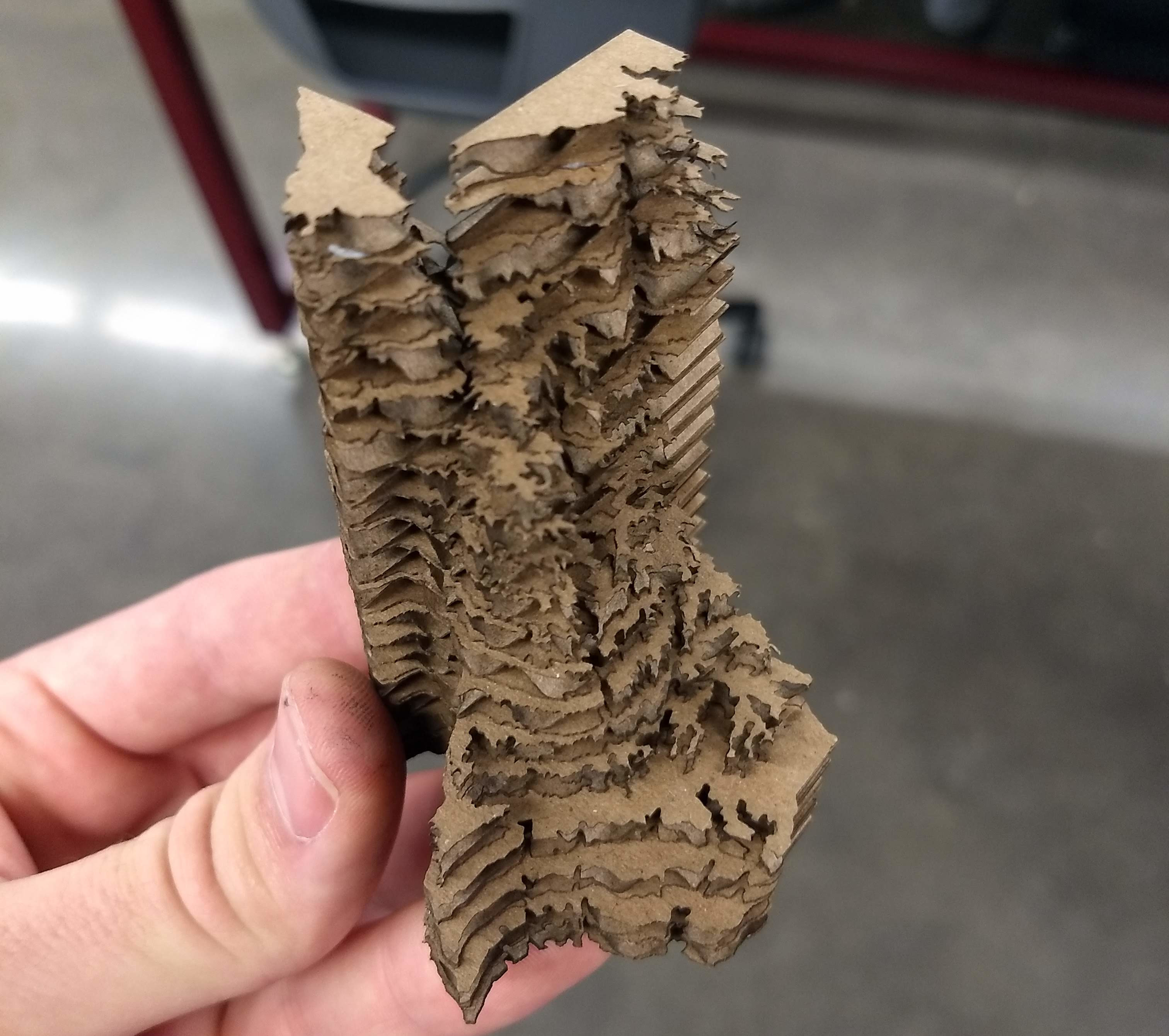
I was later asked to reproduce the project for a map of Texas for an installation in the Zachry Engineering Building. While testing my script I generated files for one of my favorite ridiculous creations, Tall Texas, which I couldn’t resist cutting out.
Laser Cut Procedural Generation Python Artsy
210 Words
2021-01-13 06:51 (Last updated: 2025-11-02 21:43)
5b58b1b @ 2025-11-02